2005/08/12 up
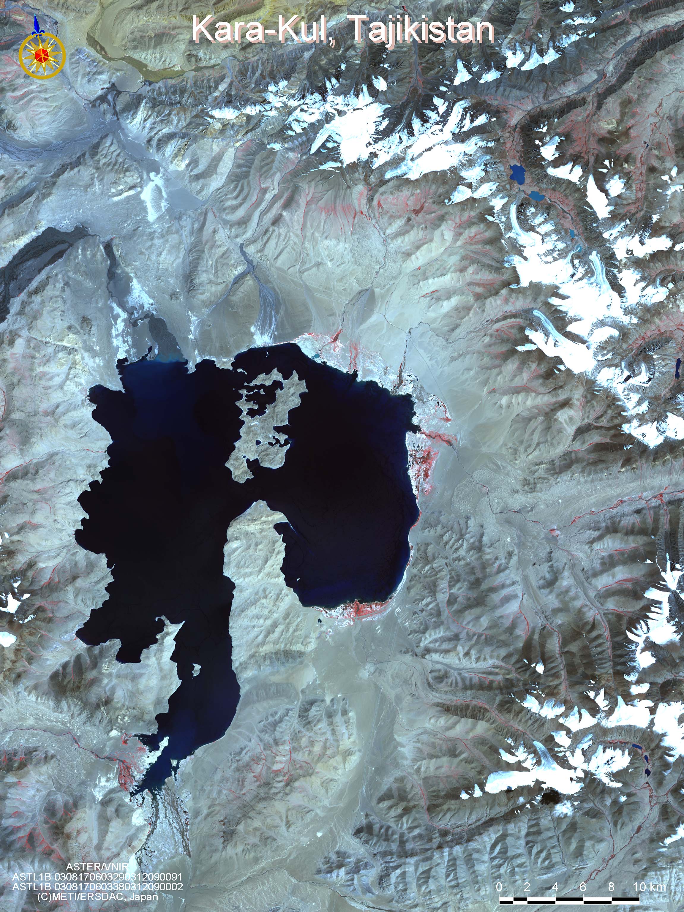
- Kara-Kul, Tajikistan
-
ASTER VNIR L3A01
At the southernmost point of Kyushu stretches Kagoshima Bay surrounded by Satsuma Peninsula in the west opposite Okuma Peninsula in the east.
This ASTER image shows the southeastern point of Satsuma Peninsula.
At the southernmost point, Kaimondake rises 924m height above sea level facing East China Sea. Kaimondake is a stratovolcano composed of basaltic rocks, and on top of the mountain, andesitic lava dome extrusion is taking place. Kaimondake is not as high as to reach 1,000m above sea level, but its beautiful landscape has made it known as "Fuji of Satsuma".
At its northeast lies the largest lake in Kyushu, Ikeda-ko (15km perimeter). Ikeda-ko is a caldera lake formed by volcanic activities, and it continues into Unagi-ike to the east-southeast and to the maar of Yamagawa Bay, to the crater line.
To the northeast of Ibusuki City, which is famous for its sand bath, there is an uninhabited island Chiringajima. From March to October during spring tides, sandbank up to 800m emerges, and people can walk across to the island.
To the center of the image, there is the Shin-nisseki Kiire Station, the largest crude oil transshipment station in Japan.