 |
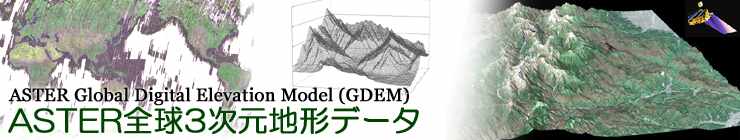
| ASTER GDEM |
|---|
ASTER GDEM is an easy-to-use, highly accurate DEM covering all the land on earth, and available to all users regardless of size or location of their target areas. |
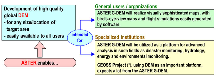 |
| For example, in "GEOSS Project*", DEM is considered to be an important platform and thus ASTER GDEM is expected to make significant contribution. |
| Validation result |
|
The validation report for the ASTER GDEM version 3 can be downloaded here. |
|
The validation report for the ASTER GDEM version 2 can be downloaded here. Summary_GDEM2_validation_report_final.pdf - the summary validation report Appendix_A_ERSDAC_GDEM2_validation_report.pdf - Tachikawa et al. (ERSDAC report) Appendix_B_CONUS_GDEMv2_validation_report.pdf - Gesch et al. (USGS report) Appendix_D_ICESat_GDEM2_validation_report.pdf - Carabajal (ICESat/GSFC report) ICESat_tables.zip - a zip file containing tables supporting the ICESat Report View the validation report for ASTER GDEM version 1 Reference |